This is an old revision of the document!
More Deb Stenzel Photos
Quoting Deb:
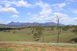
 The first photo attached shows Mt Barney (two peaks on the left) and the MacPherson range. The highest area towards the right is Mt Ballow.
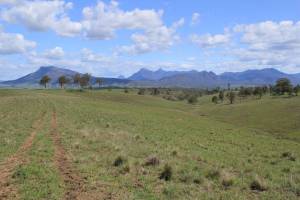
 The second photo is from the “Range” that was the boundary between the old Coochin Coochin and Maroon pastoral runs. Mt Maroon on the left, Mt Lindesay (often called “The wedding cake” due to its shape …), then the two peaks of Mt Barney, then the many mountains around Mt Ballow.
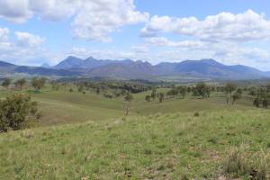
 Third photo is from a slightly higher point on the “Range” - for orientation, Maroon homestead would have been almost in the middle of the photo, but down on the creek that is hidden behind the ridges in this photo.